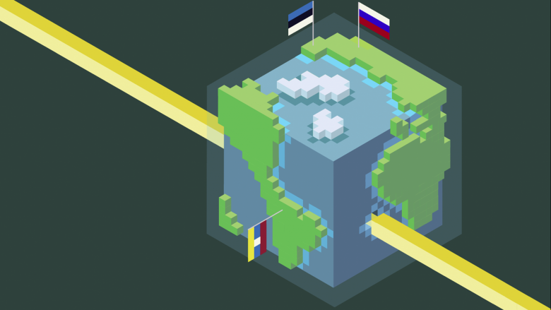
Copernicus Hackathon Sofia: Using Satellite Data To Understand The Environmental Impact Of COVID-19
Just about 500 years ago, most people believed that Earth was the center of the universe. This started changing when Nicolaus Copernicus presented the revolutionary at the time heliocentric model, according to which planets revolved around the Sun. While not completely correct, his theory put a foundation for future scientists to challenge what they think they know, explore and better understand the world we live in.
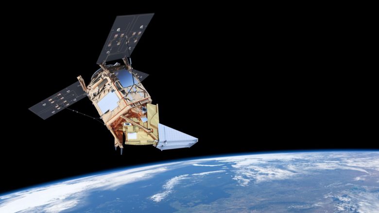
Fast forward to the present and we are into the second edition of Copernicus Hackathon Sofia, a contest for the development of new applications based on data from the Sentinel Earth observation satellites. Originally supposed to take place during Space Week Sofia 2020, due to the COVID-19 outbreak, the competition moved online and it was launched on April 24th by the organizers from the Aerospace Technology Transfer Office at the Bulgarian Academy of Sciences and a virtual host in the face of Sofia Tech Park.
Next to the primary topics – Smart Cities, Monitoring of the Danube and the Black Sea, and Earth Observation and Artificial Intelligence for eGovernment, three new challenges have been added to stimulate the discovery of remote sensing solutions related to the impact of the coronavirus pandemic – monitoring of the recent dynamics of air pollution, assessment of water quality, and assessment of the geographical distribution of the COVID-19 pandemic through satellite data.
The Copernicus Hackathon is oriented towards programmers, interface designers, image processing experts, specialists with domain knowledge in a relevant area – for example, agriculture, forestry, energy or urban planning. This year’s new online format appears to have allowed participants from nine countries to join.
Copernicus is a EU program coordinated by the European Commission EC and it’s the largest one in the world for Earth monitoring. It consists of a complex set of systems which collect data from multiple sources: earth observation satellites as well as ground stations, airborne sensors, and seaborne sensors. With many possible use cases, the program’s main goal is to ensure accurate and easy to access information about the environment, climate change, civil security.
Even though its data is intended mainly for public bodies and policy makers, all individuals and businesses can also get free access. To support entrepreneurs in the creation of new applications based on the Copernicus data, the EC has organized a number of hackathons, accelerators, and incubators.
The big prize for the winner in Sofia will actually be a place in the Copernicus Accelerator, featuring one year of coaching with a personal mentor. Right now all participants are working at their own pace with the final of the regional Copernicus Hackathon scheduled for the 8th of May.


